SEARCH
Google earth celebrates 20th anniversary

SHARE IT
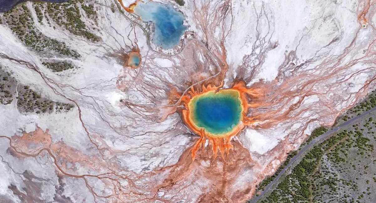
For 20 years, Google Earth has helped us explore and understand the world. With billions of images from aerial photography, satellite imagery, Street View and 3D imagery, Google Earth offers a stunning view of our planet. Over the past two decades, people around the world have used it to build more resilient cities, stronger communities and a healthier planet. In the last year alone, location searches on Google Earth exceeded 2 billion.
On 24 June, Google is celebrating Google Earth's 20th birthday by bringing historical Street View imagery to Google Earth. Now you can explore the wonders of the planet from even more perspectives — whether from above or at street level. At the same time, Google is looking back at the most important milestones of Google Earth:
- 2005: Google Earth went viral immediately after its release, with 100 million downloads in the first week alone. Two months later, Hurricane Katrina struck the United States, and Google immediately collaborated with the National Oceanic and Atmospheric Administration (NOAA) to provide up-to-date photographic material to rescuers on the ground — a preview of the impact Google Earth would have.
- 2008: Scientist Chris Simpson discovered fringing coral reefs — a rare type of reef often referred to as ‘the rainforest of the sea’ — on the west coast of Australia when he spotted an unusual formation in Google Earth satellite images. Fringing reefs provide shelter and food for a quarter of marine life and can help researchers better understand what is happening in the oceans.
- 2010: Scientists used Google Earth to locate caves and fossil sites through satellite imagery, which contributed to the discovery of a completely new species of hominid, Australopithecus sediba.
- 2012: Google published images of Oakland, California, using kites and balloons. This was the first time the company had captured images from something other than aeroplanes or satellites, thanks to the Public Laboratory for Open Technology and Science. This programme enabled anyone with an inexpensive digital camera, a helium balloon and a few other simple materials to take aerial photographs.
- 2014: To highlight the beauty of our planet, Google created Earth View – an easy-to-use extension for Chrome that turns some of Earth's most impressive landscapes, as seen from space, into digital wallpapers and screensavers.
- 2016: The film ‘Lion’ told the incredible story of Saroo Brierley, who used images from Google Earth to locate his family, from whom he had been separated at the age of five. After years of searching, he managed to find his way back to India and reunite with his biological mother in 2011, after 25 years.
- 2017: Google updated Google Earth Timelapse, offering a comprehensive view of the changing surface of the Earth through 24 million satellite images taken over a period of 35 years. Google also compiled them into an interactive 4D experience.
- 2019: For years, people have been creating their own maps using Google images. To facilitate this process, the company added new tools to Google Earth, such as the ability to add lines, shapes, text, images and videos. Some of the projects created with these tools included a 3D tour of Renaissance architecture in Italy, a historical tour of the Hudson River in New York, and many more.
- 2023: Google Earth got a new design and additional tools for professionals, enabling them to evaluate options for building design or photovoltaic installation in minutes. With this upgrade, professionals can virtually explore a location and assess the viability of a project without having to visit it.
- 2024: Google added historical imagery to Google Earth for web and mobile, giving even more users access to its rich library of satellite and aerial imagery. At the same time, it introduced Gemini to Google Earth — a new tool that helps urban planners and professionals obtain more targeted city-level information, such as the locations of electric vehicle charging stations.
- 2025: Last year, the hashtag #somewhereonGoogleMaps went viral on social media, with people from all over the world using historical Street View to travel back in time and see how a place has changed over time. Now, you can access historical Street View images directly from Google Earth, and if you use Google Earth professionally, you can easily access new databases such as tree cover in cities, ground temperatures and more. You can learn more in this post on Medium.
A big thank you from Google to you and the entire Google Earth community for all the incredible ways you've used it since 2005. Here's to the next 20 years of success.
MORE NEWS FOR YOU

 Help & Support

