SEARCH
Google Earth shows you how much the planet has changed in 40 years

SHARE IT
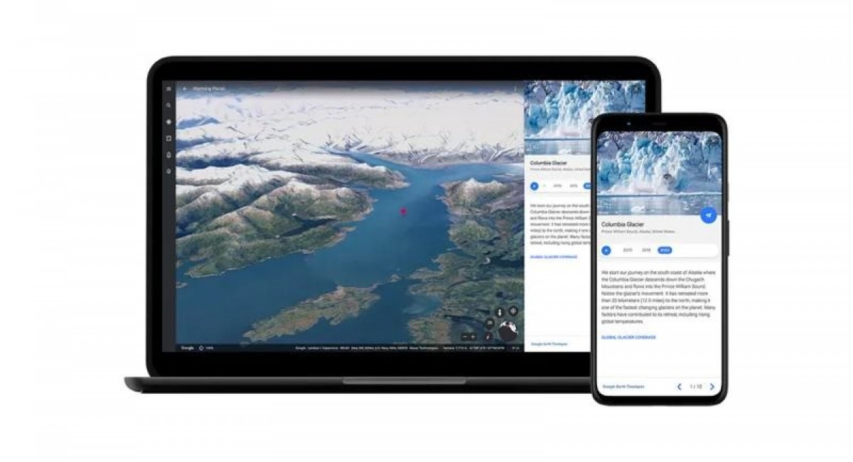
Google Earth presents how the world has changed over the last 40 years with a new 3D Timelapse feature. Specifically, the images allow you to see how the devastating effects of climate change have changed Earth from 1984 to 2020.
Google's 3D mapping tool, which is available on desktop and mobile devices, just today, added a fourth dimension: time. Google Earth, in cooperation with NASA, and the U.S. Geological Survey, and the European Union’s Copernicus program, has collected 24 million satellite images from the last 37 years of the world in order to show a different perspective of our planet.
Some Timelapse videos include the Cape Cod coast moving southward or the Columbia Glacier in Alaska retreating over the years. Others show farms developing in Saudi Arabia or suburban sprawl taking over the Las Vegas desert.
You watch Timelapse videos for any location at g.co/Timelapse in order to see stories from selected locations around the globe.
MORE NEWS FOR YOU

 Help & Support

